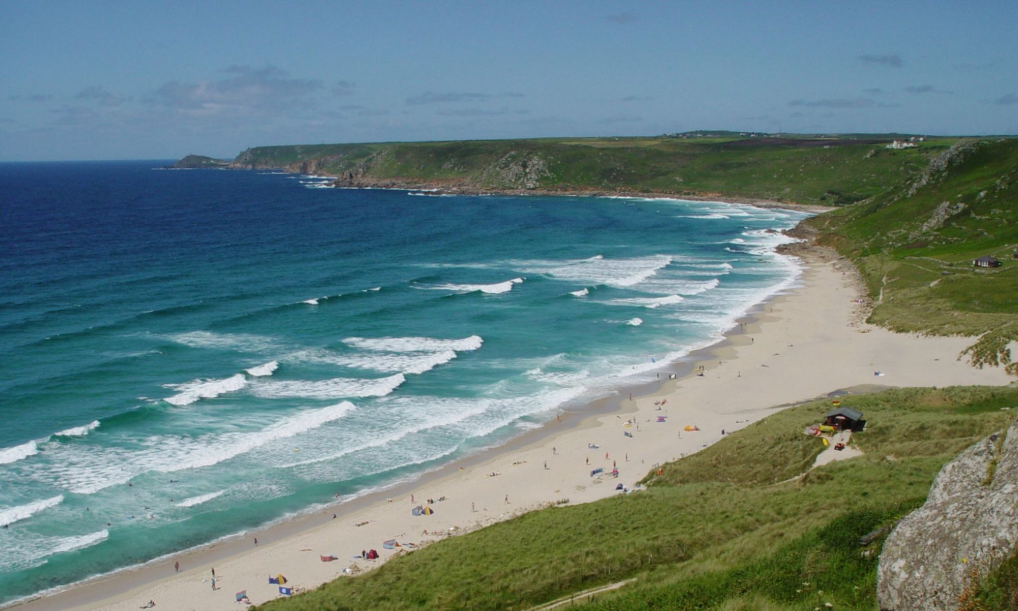
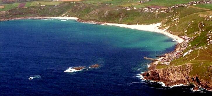
Whitesand Bay stretches from the Pedn-mên-du headland (the cliffs at the bottom right of the image above) to Aire Point (just out of shot at the top left) taking in Sennen Cove, Sennen Beach (the larger sandy beach stretching across most of the image) and Gwynver Beach (the smaller beach on the left edge of the photo), as well as the small islands of Cowloe, Bo Cowloe and Little Bo (bottom left).
Visit our Sennen Cove homepage to read more about Sennen Cove and Whitesand Bay.