Land’s End is the most westerly point on mainland England.
Coordinates: 50°04′07″N 05°42′58″W
Ordnance Survey grid reference: SW 34177 25339
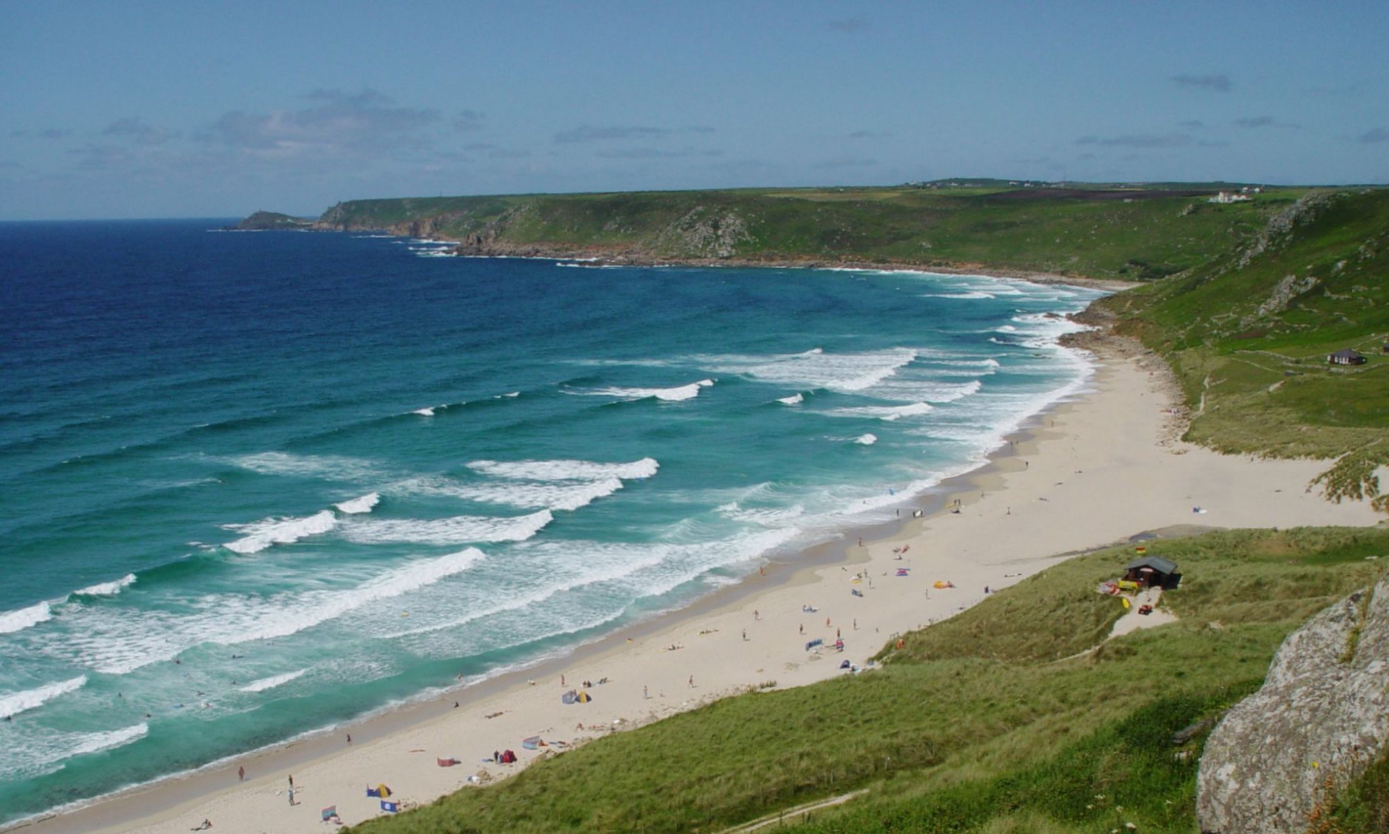
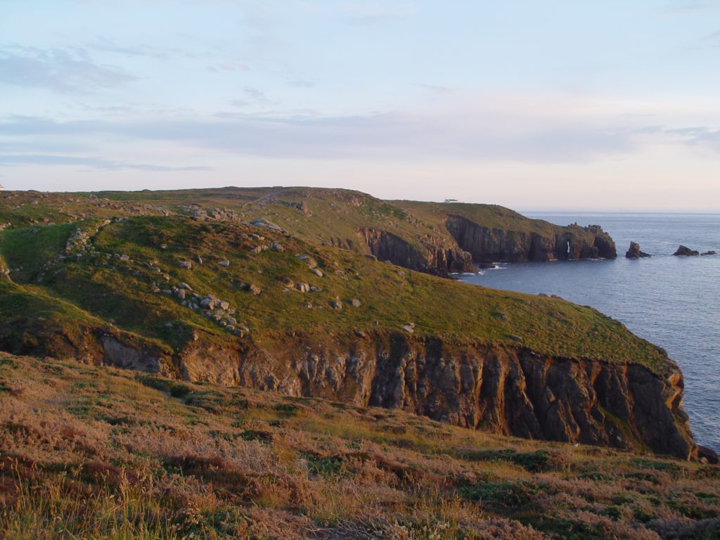
The Land’s End headland, also known as Peal Point or Penn an Wlas (meaning End of the Land) in Cornish, looks out across the Celtic Sea, part of the Atlantic Ocean, with the Isles of Scilly often visible on the horizon on a clear day.
The coastal walk between Sennen Cove and Land’s End, via Mayon Cliff, is highly recommended for its spectacular scenery, as well as the continuation of the coastal path from Land’s End to Porthcurno via Nanjizal.
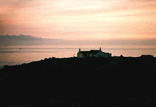
Land’s End has great views of Longships Lighthouse, which lies about two kilometres from the coast – particularly spectacular in high seas when the waves crash in over the Longships rocks with the spray often reaching over the top of the lighthouse.
The light from the more distant Wolf Rock Lighthouse can also be spotted from Land’s End, eight miles out to sea.
The name Peal Point likely comes from the Cornish Careg an Pell, meaning Spire Rock, which was the name of a rock formation that collapsed into the sea during a storm of 1648. The rock was surmounted by an iron rod or spire, which gave it its name.
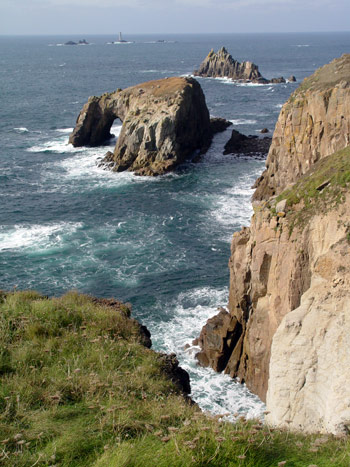
It is said that the spire was erected by either the Romans or King Athelstan and that the rock formation was originally known as the Armed Knight, presumably due to the spire. This name still survives as the name of a rocky island further round the coast (see the picture above).
The westernmost promontory of Land’s End is known as Dr Syntax’s Head after the poem The Tour of Doctor Syntax In Search of the Picturesque, first published in 1809 by William Combe. Another nearby promontory is known as Dr Johnson’s Head, after Dr Samuel Johnson who wrote a spoof declaration of Cornish independence in the late 1770s as an argument against American independence.
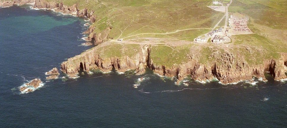
The First and Last House (not to be confused with the First and Last Inn, in Sennen village) is the closest building to Land’s End. The cottage was built in the 19th century as a gift shop for the local resident Gracie Thomas and has now been extended well beyond its original size.
Not far round the coast, at Carn Kez, is the Land’s End Hotel and theme park complex, which was built in the late 1980s.
Close to this development is the famous Land’s End signpost – a popular photo opportunity for tourists since the 1950s. (Note, there also used to be a suspension bridge nearby across Dollar Cove, but this has now been removed.)
Further round the coast is the 200-year-old Greeb Farm, which has been restored with a collection of animals and a traditional craft workshop.
A small island just off shore near to Greeb Farm, known as Enys Dodnan (possibly from the Cornish for ‘island with the soil on it’), contains a spectacular rock archway, over 12 metres high. (See the picture above.)
The legendary kingdom of Lyonesse, is said to have once stretched beyond the coast of Land’s End to the Isles of Scilly, before it sunk beneath the waves in a single night. Visit the Legends page to read more.
Land’s End to John o’ Groats
Land’s End is well known as the start or destination point for people attempting to travel the length of Britain, to or from John o’ Groats on the northern coast of Scotland. The various methods of making the Land’s End to John o’ Groats journey (also known as LEJOG, or JOGLE in the other direction) include walking, running, cycling and even swimming. As the crow flies, John o’ Groats is 603 miles from Land’s End, although the shortest distance by road is over 800 miles, and many people choose longer, more scenic routes.